Harness AI and Cloud Technology for Automatic Ground Classification

What is LP360 Drone?
This is the core product for drone geospatial data workflow. Maximize your LiDAR and imagery data with visualization, QA/QC, classification, 3D editing, and analysis capabilities. It includes the features below.
- Intuitive workflow
- Multi-flight import and processing
- GIS interface allowing combination with other geospatial data
- Powerful point cloud visualization with multiple and synchronized windows
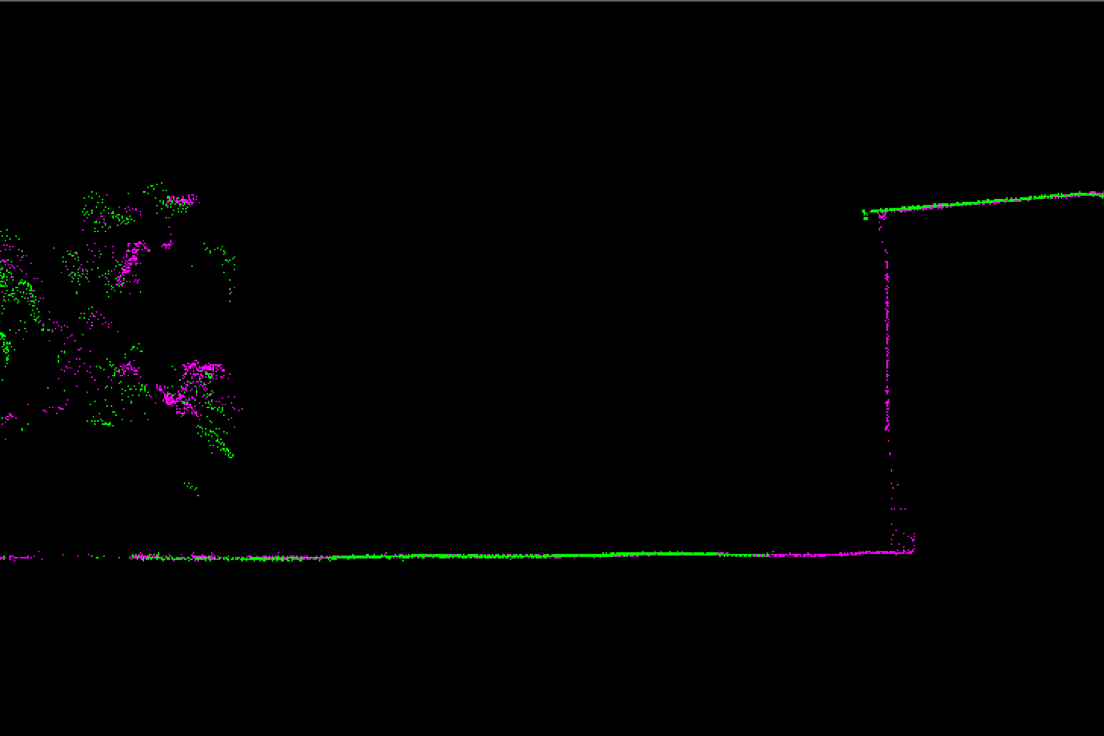
LP360 Strip Align
Data can exhibit small geometric inconsistence, especially when combining data from multiple flights. Strip Align for LP360 Drone detects and corrects these errors via an application of sensor-specific mathematical modeling. Strip Align is a fully automated process with no need for users to set project-specific “tuning” parameters or to move in and out of the LP360 Drone processing environment – press a button and it works!
Why Use Automatic AI Ground Classification from LP360?
The new Automatic AI Ground Classification Add-On harnesses the power of deep learning to intelligently classify your point cloud and extract accurate ground surfaces faster than ever before.
This cutting-edge tool uses a pre-trained deep learning model to separate ground from non-ground points—no training data or AI expertise required.
Whether you\'re processing drone LiDAR for construction sites, forestry, or complex terrain, the AI Ground Classifier delivers better results with less effort.
Cloud-Based AI Engine
Pre-Trained Deep Learning Model
Superior Accuracy
No Seed Surface Needed
Exceptional Performance in Complex Terrain
Smarter Low Object Discrimination
Proprietary Data Protection
Maximize your workflow with add-on products
Process, analyze, and maximize drone survey data, producing valuable information and deliverables
Leverage the Power of AI and the Cloud
With the LP360 AI Classification Bundle, you gain access to fast, intelligent classification that scales with your workload. Just geocode, align, and launch your AI ground classification, all from LP360.
Features
- Automatic tiling based on optimal file size
- Uploading, processing, and downloading from LP360 Cloud
- Returning a fully classified point cloud directly into your LP360 project